
Port St. Lucie Neighbor Sources
Public records describe the land around a Port St. Lucie address more clearly than they describe every person in each home. The parcel map defines the block. Individual parcel cards name owners. Voter extracts may add registered voters under Florida's disclosure rules, and municipal files can document activity at an address. Each source answers a different question.
| Source | Block evidence | How to access it |
|---|---|---|
| Property Appraiser map | Parcel shape, adjacency, city line, subdivision, and property link | Free map browsing |
| Property and tax roll | Owner, situs and mailing addresses, exemptions, and sales | Free parcel cards or data request |
| Clerk deeds | Transfers and legal descriptions for each selected parcel | Name and date search, then public image |
| Registered-voter extract | Disclosable registrations sorted by precinct street or household | Lawful county request; protected fields removed |
| City permits and code files | Work, inspections, cases, and dated address activity | Web search, phone, or records request |
| NICE planning areas | Public civic geography and planning contacts | City neighborhood pages and meeting records |
The owner shown on a parcel card is not automatically the occupant, and the mailing address may point elsewhere. A homestead indication can support owner occupancy for an assessment year, but it does not identify everyone in the home. Treat neighbors as dated, source-specific connections rather than a fixed roster.
Shape a Port St. Lucie Neighbor Block
Port St. Lucie streets curve, cross canals, and wind through separate plats. A guessed range of street numbers can pull in homes that are not physically near the subject property. Block research should therefore begin with parcel geometry. Touching parcels and lots directly across the street are a sound first ring.
Use the Saint Lucie County Property Appraiser map to locate the seed address. Zoom until parcel lines and street labels are clear, then note the subject Property ID. Click each surrounding polygon one at a time and open its parcel details. The public service exposes Find and Identify tools; no verified public radius or buffer button was found, so click-adjacent browsing is the reliable method.
A canal, preserve, major road, or subdivision line may shape the true block more than a nearby number does. Keep a short parcel list with Property ID, situs address, and position relative to the seed lot.
Map Port St. Lucie Neighbors
The map-to-record flow keeps each neighbor clue attached to the correct land. A parcel is a mapped unit of real estate; the situs address labels its physical location. The owner mailing address is the tax contact and may differ. Work outward in a set order so similarly named streets or duplicated house numbers do not get mixed.
- Enter the full address, including its NW, NE, SW, or SE quadrant, and select the subject parcel.
- Record its Property ID, legal description, subdivision, lot and block. Turn on the city-boundary layer if jurisdiction is uncertain.
- Click the touching parcels and the lots directly across the street. Save each Property ID before opening another card.
- Compare situs and mailing addresses. Note a homestead flag only as support, not as conclusive proof of occupancy.
- Use deeds or city files only for parcels that need more context. Do not infer names for unlisted household members.
The county's tax-map PDFs preserve assessment boundaries, but they are not surveys. If the task expands beyond the immediate ring, use the Port St. Lucie street directory workflow for a whole named street.
For a larger, well-defined area, the Property Appraiser offers free tax-roll and GIS downloads joined by Property ID. Staff can scope a custom data request when the public viewer is inefficient. State the streets, parcels, or planning area sought instead of requesting every county record.
Port St. Lucie Neighborhood Geography
The city's NICE program reflects a local naming quirk. General Development Corporation numbered many subdivisions instead of giving them neighborhood names. Residents later gained a process for proposing identities, boundaries, and Kickstart Plans. Port St. Lucie reports 14 planning areas and 32 neighborhood focus areas.
Those civic areas help locate public meetings, liaison records, and planning work. They are not resident directories. Sandpiper Bay, Ballantrae, Anchorage, and River Vista illustrate how an association name, a subdivision, and a broader planning area can overlap without being the same geography.
NICE planning areas
Use the Neighborhood Services pages for public plans, civic boundaries, and city contacts.
Private associations
Use only board or manager contacts the association publishes. No official public Port St. Lucie HOA member roster was verified.
City-held liaison files
Ask the City Clerk for specific nonexempt correspondence or meeting records when a known association dealt with the city.
A modern neighborhood name may be newer than the homes beneath it. Search older deeds and permits by section, block, lot, and legal description when the civic label produces no result.
Florida Voter Data for Neighbors
Florida voter-registration records can support a block question, but the public self-status lookup is an individual verification tool, not a neighbor browser. A St. Lucie registered-voter extract request offers sort choices that include Precinct Street and Household, plus filters for City and Precinct. That creates a lawful way to ask for block-level data without pretending the self-service form displays everyone nearby.
Florida law makes several registration fields generally public, while Social Security numbers, driver-license or state-ID numbers, registration source, and copied signatures remain confidential. Address Confidentiality Program participants and qualifying protected occupations may also have address details withheld. Vote history records participation, never ballot choice.
The state's explanation of public and confidential voter information shows the disclosure boundary.
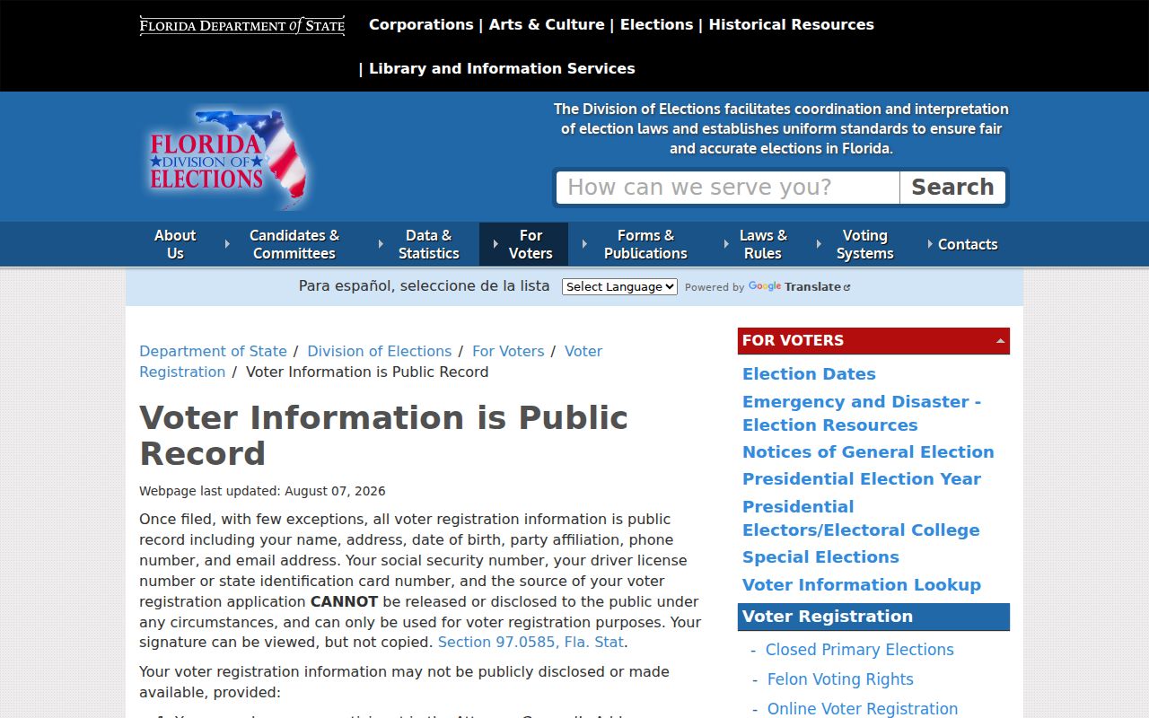
The page confirms why a block extract can omit protected people and fields even when other registrations are available.
The separate Florida voter-status verification form shows the individualized route.
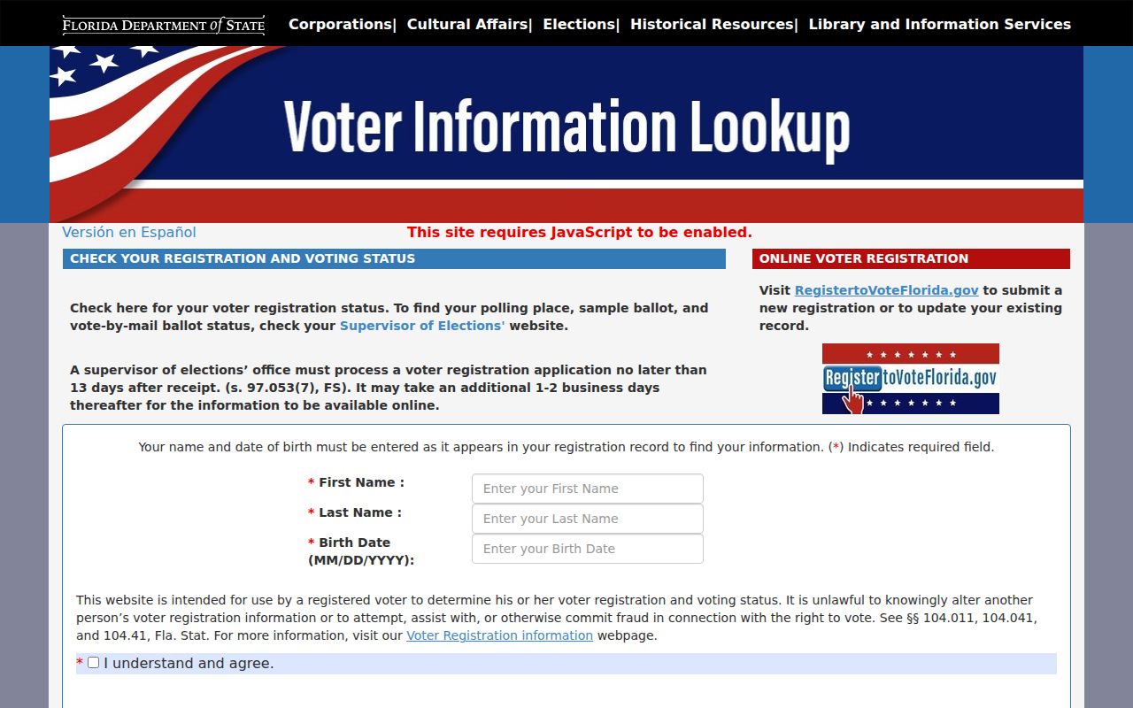
Its required personal details confirm that this tool checks one registration and cannot be used to browse a Port St. Lucie block.
Note: A voter registration links one voter to an address at a point in time; it does not list every Port St. Lucie resident.
Port St. Lucie Neighbor Activity
City address records can add dated facts around the block. The Building Property Search may return current and Legacy Data rows, and both should be checked. Permit records can show work, contractor details, inspections, and a property key. Code Compliance files may show cases, dates, and parcel conditions through a phone inquiry or public-record request.
Port St. Lucie's garage-sale and open-house systems also display public events by address and ZIP. They are not neighbor lists. A sale date proves only that a permit or posted event was tied to the property, not that a named owner or visitor lived there.
Florida SB 60 changed the city's code-complaint trail in 2021. Most complainants now provide a name and address, subject to an imminent-threat exception and other legal exemptions. That address can belong to the person reporting the issue rather than the property at issue, so do not treat it as occupancy proof.
Official Port St. Lucie Block Records
Official rolls and commercial neighbor tools serve different purposes. County and city sources disclose a defined record held by a named custodian. Commercial compilations combine changing data from many places, may charge for access, and can preserve stale links after a move. Search official sources first when the parcel or public event is the question.
| Source type | Best use | Main limit |
|---|---|---|
| Property Appraiser and GIS | Map the immediate block and identify parcel owners | Owners are not the full household |
| Voter and city records | Confirm a dated public filing or event | Exemptions and source-specific limits apply |
| Commercial compilation | Possible lead when the source is clear | Unknown freshness, merged identities, and unclear provenance |
Correct an error with the office that created the record. If the mistake exists only in a commercial compilation, use that publisher's privacy or correction process and share no more identity data than needed.
Port St. Lucie Neighbor Boundaries
A Port St. Lucie mailing label does not by itself place a parcel in city jurisdiction. River Park is the sharpest local example: it sits just north of the city boundary and has a deep Port St. Lucie identity, yet it remains unincorporated. City permits or code files may therefore be the wrong source for a nearby postal address.
Check the parcel's City Boundaries layer before contacting City Hall. The same test matters in fast-growing western areas and near ZIP edges. County property records still cover parcels outside the municipal line, while city-held records depend on city authority.
Protect Port St. Lucie Neighbors
A neighbor lookup has firm limits. Tax rolls omit most renters and household members. Driver records are protected by state and federal law, and utility customer data may be exempt. Florida's Address Confidentiality Program gives qualifying relocated victims a substitute mailing address. Other protected groups may ask each custodian to suppress designated information.
Chapter 119 opens nonexempt government records; it does not turn a private HOA, congregation, club, or block watch into a public agency. No official public Port St. Lucie resident roster was verified for those groups. Use only contacts they publish voluntarily.
The official Florida Public Records Law is the source for access rules and exemptions.
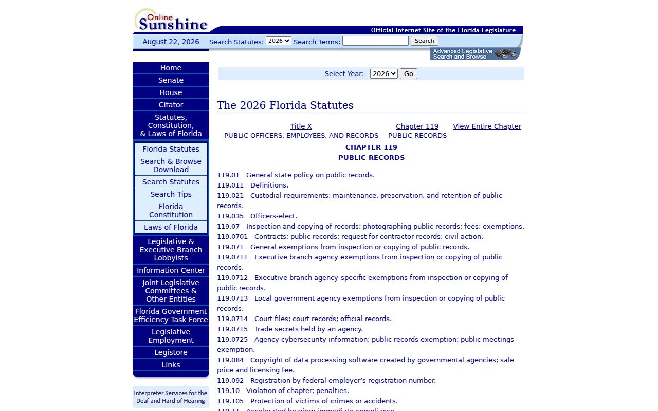
The statute supports focused access to existing nonexempt records while preserving specific confidentiality protections.
Lawful use. Use neighbor records for civic curiosity, reconnecting, or personal safety awareness. Never watch, threaten, intimidate, or harass another person.